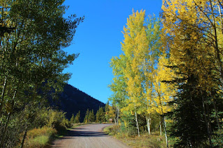
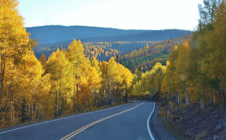
Traveling from Lake City, Colorado, south and east toward Creede, Colorado. We drove around Lake San Cristobal, 5 miles south of Lake City. Then we went over Spring Creek Pass, elevation 10,898 feet (there was a hitchhiker, right at the top of the Pass, on the Continental Divide!) and Slumgullion Pass, elevation 11,529 feet.
Lake San Cristobal was formed about 700 years ago by a rare natural earthflow called the Slumgullion Slide, which blocked the Lake Fork of the Gunnison River. Lake San Cristobal is the second-largest natural lake in Colorado.
When the best scenery is out the driver's-side window...
Mule doe
When the scenery is at its best, the pavement always ends.
Rio Grande Headwaters
Larry, always clowning around...
He's pretending to take a picture of me, but he has nothing but the 300mm lens. No camera. 😄
Rio Grande Headwaters
Rio Grande Headwaters
Rio Grande Headwaters. I didn't realize until I was editing these pictures that there are ranches and houses back there in that valley.


No comments:
Post a Comment
Note: Only a member of this blog may post a comment.